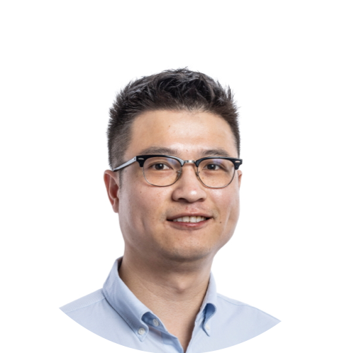
Dr Yunmeng Cao
Central South University | School of Geoscience and Info-Physics

Welcome to my personal hub!
My name is Yunmeng Cao (曹云梦). I am a professor of Satellite Geodesy based at School of Geoscience and Info-physics in Central South University, Changsha, China.
Our team focusses on using satellite radar technology to detect, analyze, and model Earth surface’s spatio-temporal changes that are associated with a wide range of geophysical and geotechnical processes, such as seismic- and volcanic-activities, earthquake- and climate-induced landslides, underground resource extraction caused surface movements, infrastructure damages, and natural hazards caused surface changes.
We develop state-of-the-art algorithms to improve satellite geodesy for better geoscience applications, and have developed a couple of open-source toolboxes aiming to process satellite geodesy data more precisely, quickly, and automatically, based on modern adjustment theory, geostatistic, and artificial intelligence. Our group’s long-term goal is to intelligently and rapidly detect Earth surface’s changes/displacements using Earth observation (EO) responding to climate change caused geohazards, geophysical activities, and sudden natural hazards over large areas (e.g., nation wide).